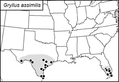
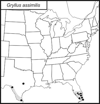
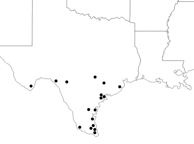
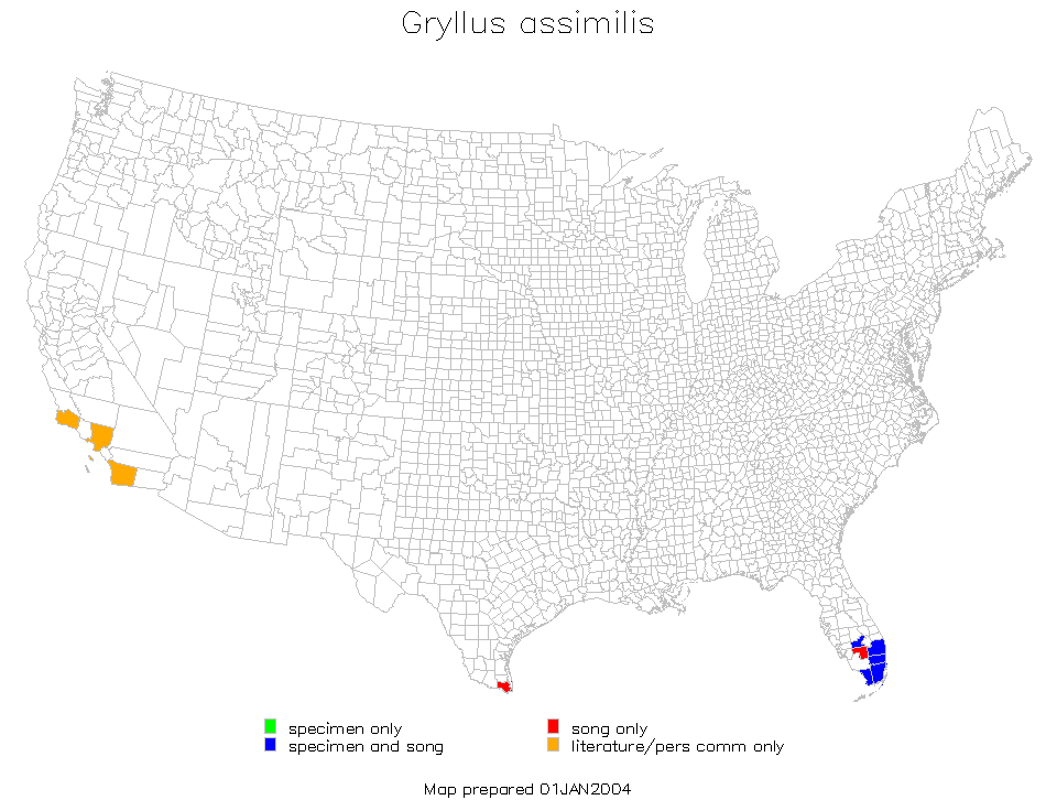
Dots show county records; shaded area shows likely general distribution.
Computer-generated distribution map, produced in 2004
from records in a database available on this site.
[At the time the computer-generated map was made, G. multipulsator had not been differentiated as a species distinct from G. assimilis]
(Note:
Monroe County, Florida, includes the southwest portion of the tip of mainland Florida
and the upper and lower keys. These three parts of that county are mapped separately in
the "dot maps" but not in the computer-generated distribution maps, which are
strictly at the county level.)